![[Translate to English:] Fakultät Geomatik](/fileadmin/HTW/Fakultaeten/Geoinformation/Bilder/Fakultaet/Kopfbild_Geomatik.png)
About us
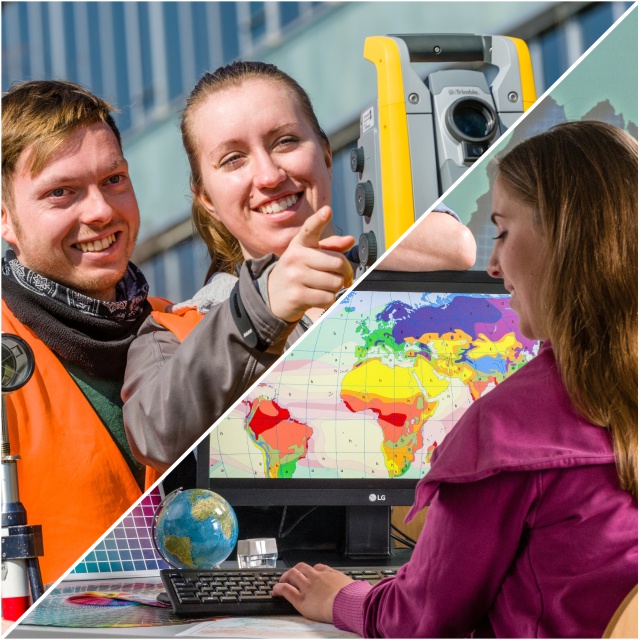
Geoinformation deals with geospatial data: from generation via management to distribution. It is a modern technology business.
Accordingly, our teaching and research profile is polyhedral:
- terrestrial & spatial surveying
- land management & real estate regulations
- geoinformation systems
- photogrammetry & remote sensing
- media technology
- topographical & thematic maps
- CAD & virtual reality


![[Translate to English:] Fernstudium Vermessung](/fileadmin/HTW/Fakultaeten/Geoinformation/Bilder/Studium/studiengang_vermessung_fern_neu.jpg)